|
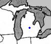
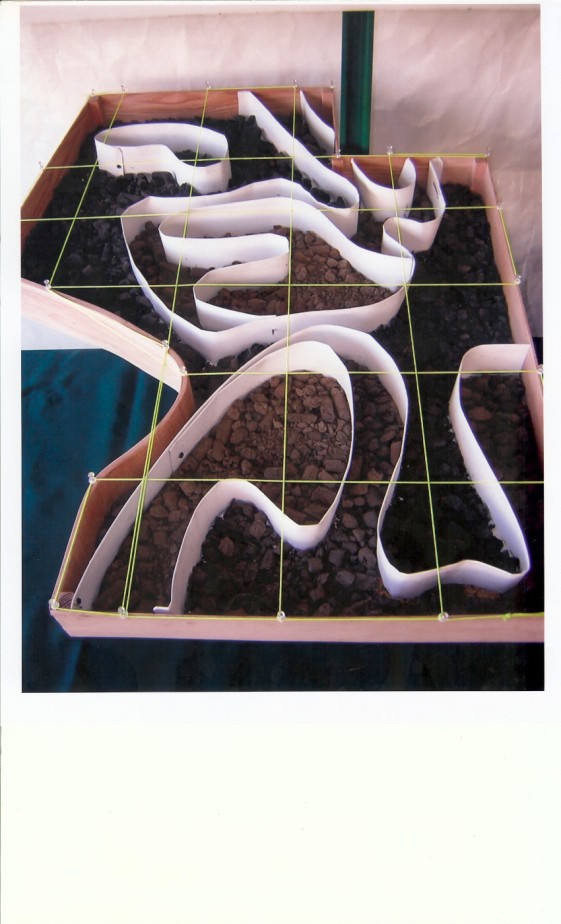
Central Michigan | I think zone testing is the only way to go for us, we have pretty variable soil types. Grids don't take into account what you know about the field and it indiscriminately places a point based on the coordinates, so this point may be averaging to very different types of soil. I have a got a picture from a consultant that I think shows this point very well as an example.
 (bco pic.jpg) (bco pic.jpg)
Attachments
----------------
 bco pic.jpg (98KB - 39 downloads) bco pic.jpg (98KB - 39 downloads)
| |
|
 Grid vs Zone

