|

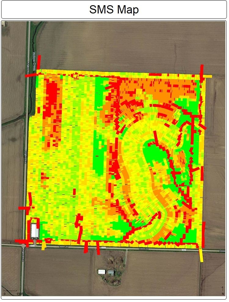
Alton, Ia | Case 2140 planter, Pro 700 w/ASI. When I upload my files into SMS, they come in as "site verification" for corn, and planting for beans. The corn maps show only detail for the spots in the field where there was some overlap, and nothing where the "real planting" occurred. Work conditions on 700 should have been the same, I will review today.
Fields are adjacent to each other, one beans, one corn. Yes, I know the bean one needs some cleaning up, had to go WAAS on controls, a long story about new to me planters, GPS techs, etc.
Any suggestions?
Thanks.
Edited by Oliver1 5/12/2022 09:37
 (F Plant_1 (full).jpg) (F Plant_1 (full).jpg)
 (Plant Map_1 (full).jpg) (Plant Map_1 (full).jpg)
Attachments
----------------
 F Plant_1 (full).jpg (198KB - 110 downloads) F Plant_1 (full).jpg (198KB - 110 downloads)
Plant Map_1 (full).jpg (141KB - 106 downloads)
| |
|
 Planting Mapping/SMS import help

