
Ethridge, TN | 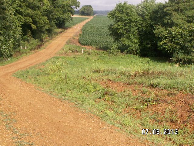
The view about a week ago, camera date is correct. 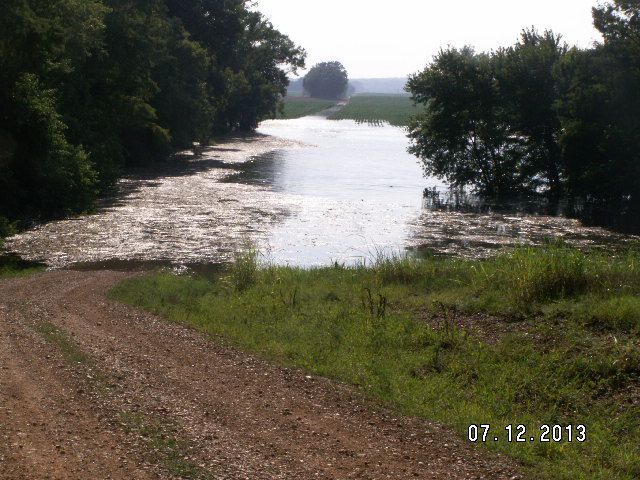
The view today. That is approx, 8' of water. 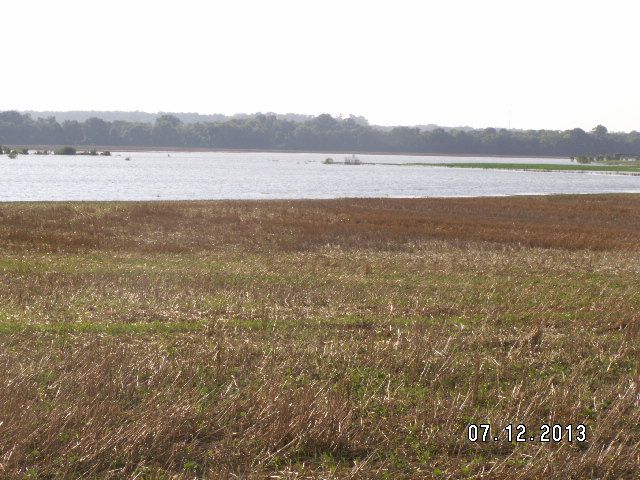
Another farm, approx 4 miles in from the river. 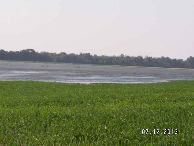
Another farm, and we have now missed enough rains, that we really could use that pivot running, but most of that water is 4-5' deep, electric Valley Pivot. Yeah, we are dry, none of this water originated locally. River management provided by TVA, complicated by the ACOE. 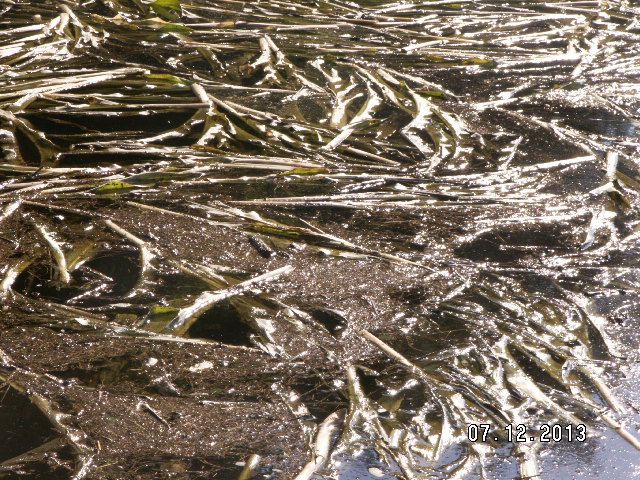
2013 crop going for a float. Nice mess to have to deal with. 100 hours weeks, to produce this. So, I'm making this post, not for a pity party. What I'd like to see, is pics from others in the valley between Pickwick and KY Lake Dam, and maybe even there to the Ohio River up thru KY, cause they just now decided to send this mess to you. Am attempting to push the issue for adjustments to the River Management Guide, and "maybe" force some responsibility onto TVA that will force some changes. I don't care if you post your name, but please include a location. Will print this off and attempt to get it in the right hands. May not due a bit of good, but nothing will change if we do not make an attempt, and roll over yet again. |
 TN RIver - 2013 wipe out

